Map from mail posted to a blog Check the project web page for details. I have modestly invented a fully automated service "Mail-2-Map" based entirely on free web services. It reads coordinates sent by a collar, and displays it on the map below.
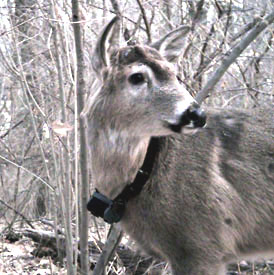
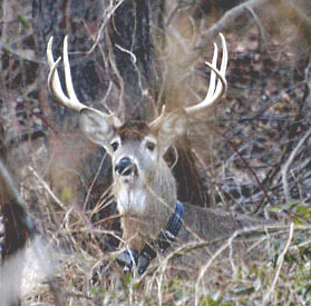
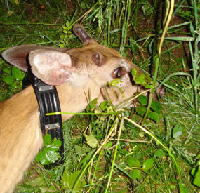
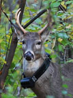
The map refreshes itself on regular basis. Originally it was designed for Thor, the first in the world deer-geoblogger. Later it was Solomon, a young buck, whose collar failed for unknown reasons. Now it is William, a young buck.